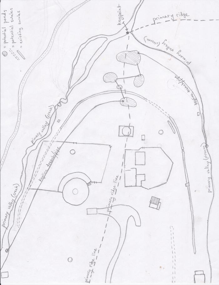
HI Adrien, thanks for your shots!
In this case I find myself doing keyline irrigation of pastures and working with verical plow and irrigation overflow, so do not make sense swales.
I never heard of making swales with keylines, maybe if you dont have dams could be, for the first line a big swale.
If you have dams most of the runoff is stored in the dam, and only the water that falls on the surface of the irrigation area itself must be handle.
I was talking about the disersion chanel, which collects water from the catchment area for the dam.
I've been studying more and I have found some answers to my questions that make sense to me, I share them, but be careful who read it were my conclusions, I could be wrong.
1 - The pattern can be made or not above the diversion channel as if the catchment area will be worked. For example, in the regrarians image that they have in facebook(
Image), there is three diversion channels , over the first is one catchment area , as it is planted thick with trees , in the following two are catchments and irrigation simultaneously , as are used for planting or grazing. That image is greate, explain a lot for me, i hope is correct.
2- I think you can not have more than one keypoint in a valley, but there may be more than one point whit keypoint form. In case there is more than a point where it seems to be a keypoint, the higher is the keypoint becose the curve tend to close as it is copied down.
3 - If no key point is or this is well outside of the work area a guide line is used. This is usually on the top of the valle, since repeating the pattern down the curve tends to close and therefore expels the water. But you should check the topographic map if that patern make the goal.
As with the keyline this pattern joins in the division with the slope by repeating up the last curve of the hillside.
Maybe someone can tell me if I'm right or wrong?
Thanks in advence!


