Hello Everyone!
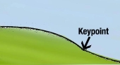
I have been looking around the forums for some support with the identification and implementation of Keypoints and Keylines for the cultivation of trees.
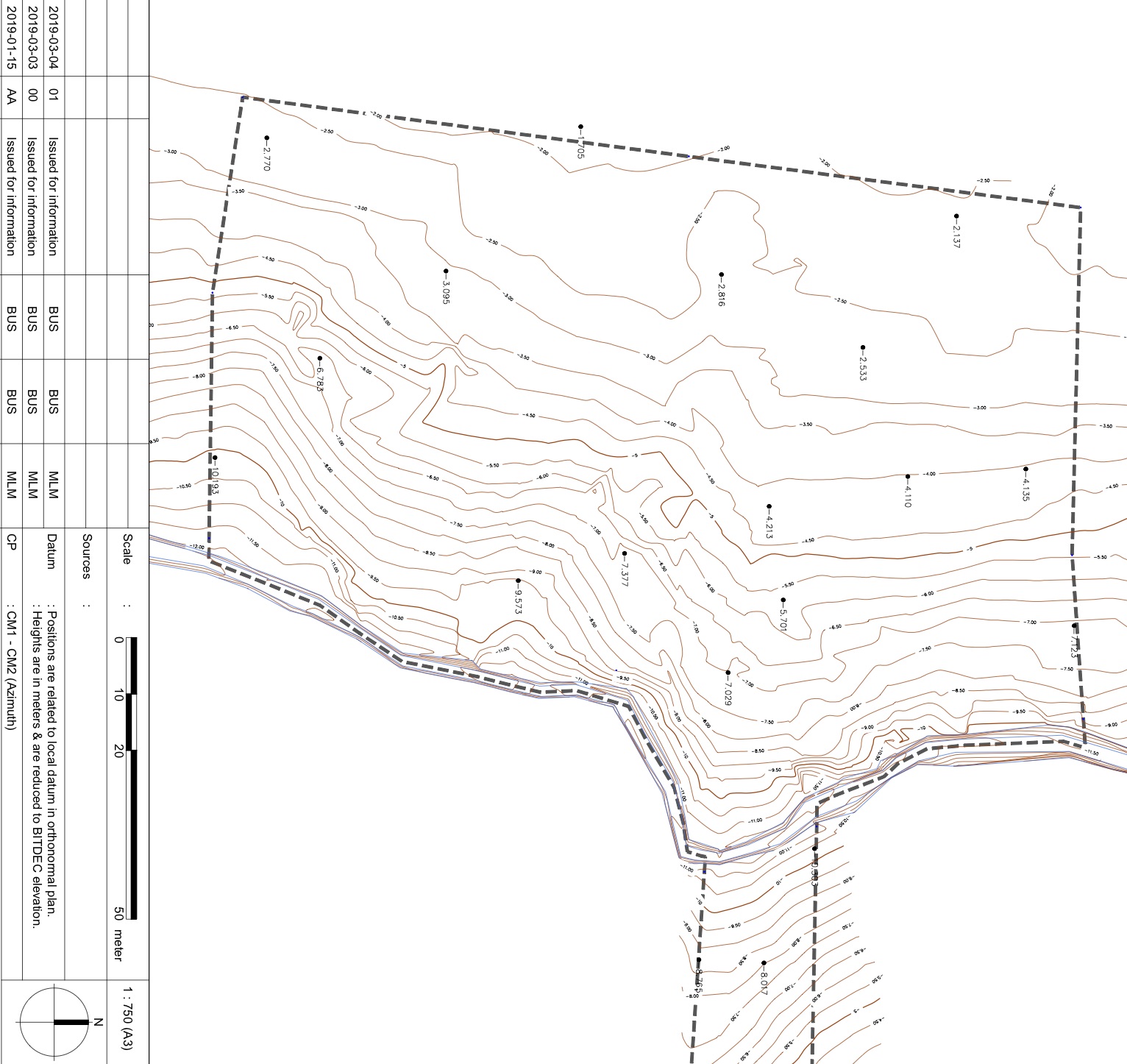
The land I am working on is about 1ha and I have got the topographic map from a previous survey done on the land in 2019.
This site soil is more than 50% clay, old ricefield with heavy waterlogging in the rainy season, and rock-hard soil in the dry season...
I am looking for some support to help with defining the keypoints first, and then the keylines the most adapted for valley and ridge cultivation as I understood from my reading that they can be different ways to select them based on the local context.
Here is the initial topographic map:
And this is my base map, with what I think could be good Keypoints (Red stars).
Those locations are approximately what I see would be suitable when in the field directly.
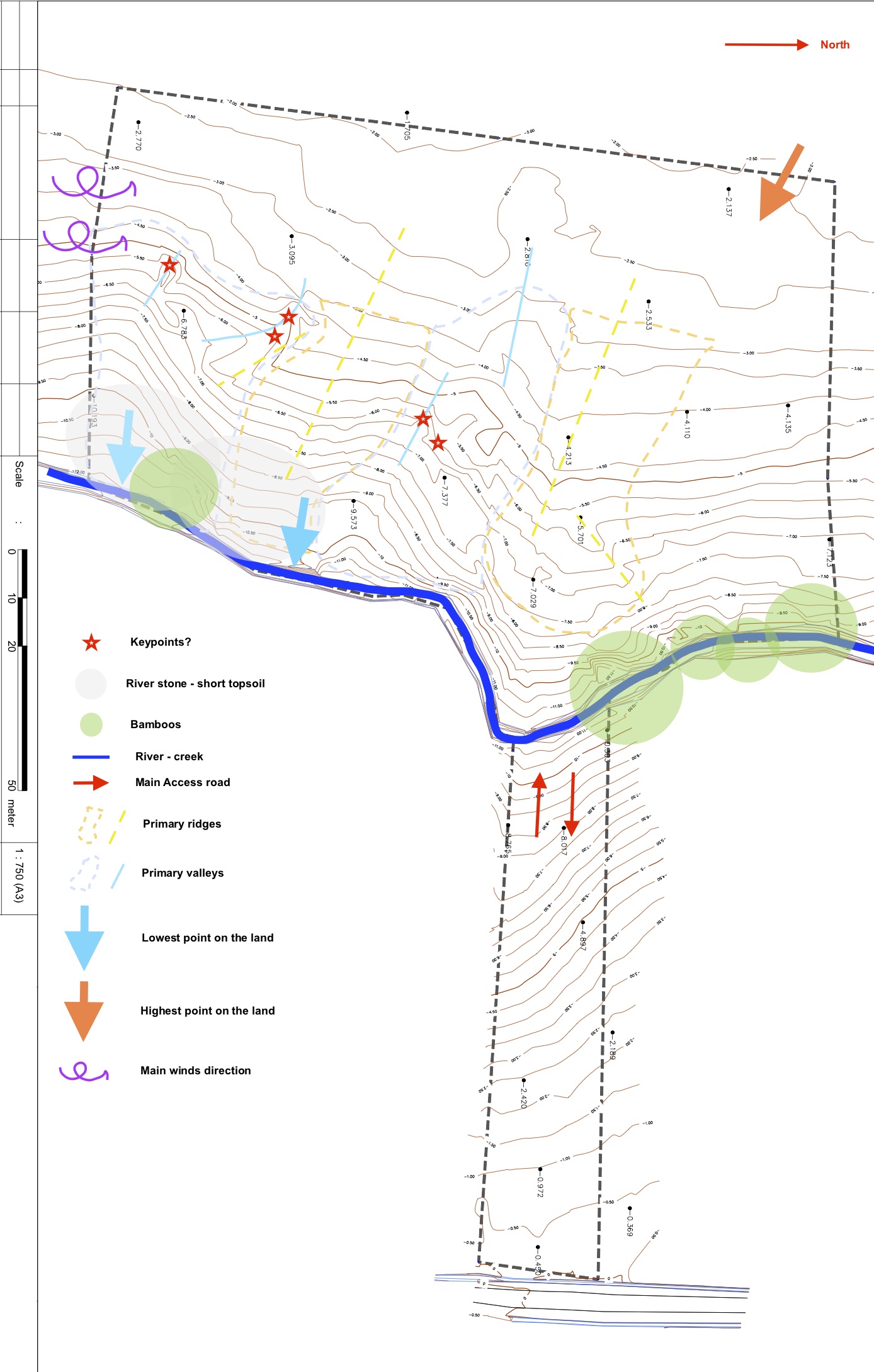
What do you think out there? Does my understanding correct?
The next steps are to create the keylines!
Thanks a lot for your suggestions, opinions and ideas!
Ama.


 1
1


![[Thumbnail for VAL_Topography_image.jpg]](/t/215371/a/209153/VAL_Topography_image.jpg "Filename: VAL_Topography_image.jpg
Description:")