

Hey Brian,
This looks like a really useful direction. Mapping cultivars on the property and tracking planting dates, yield and harvest windows is a different problem from most agroforestry design tools I have seen.
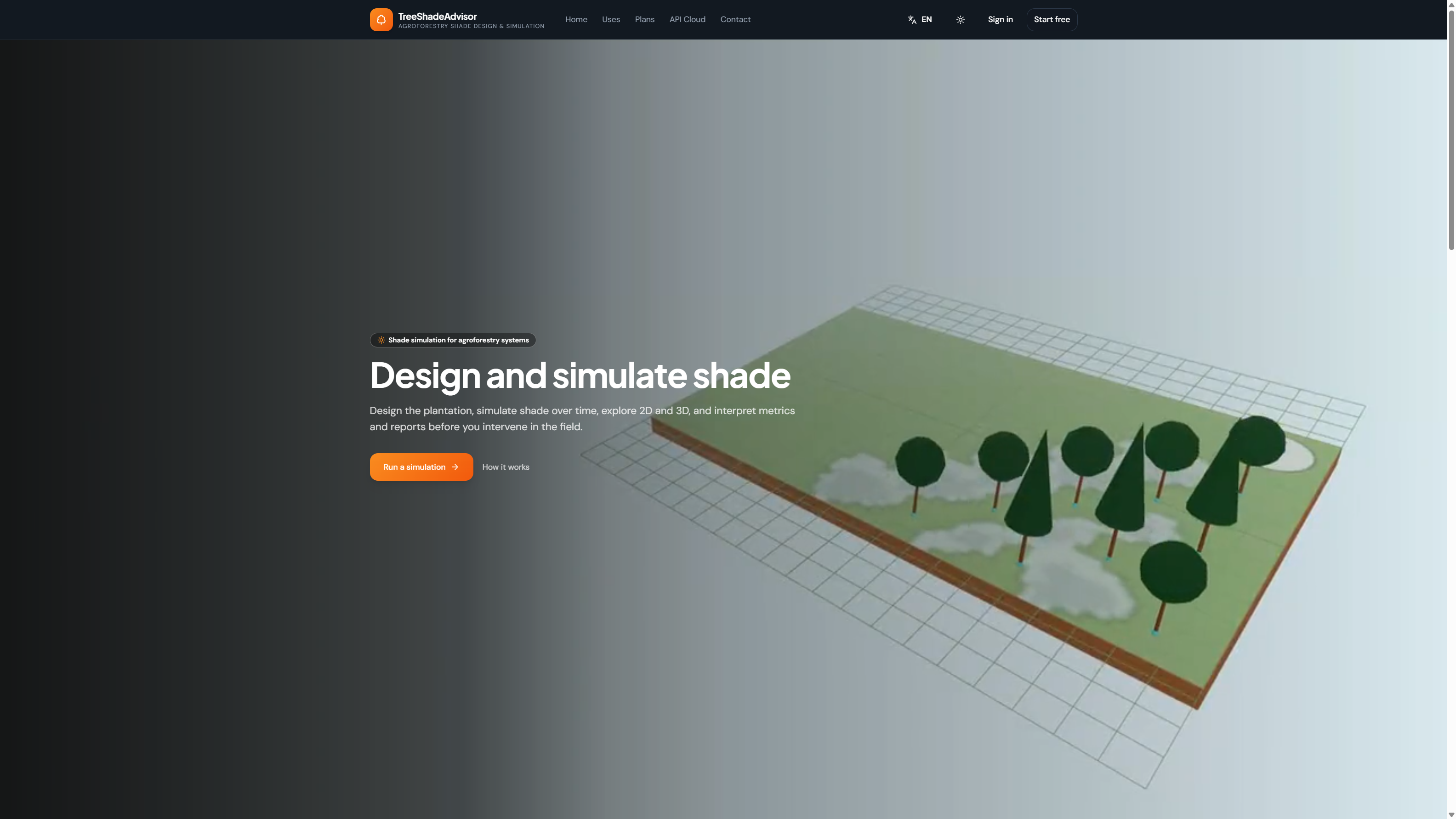
I have been working on TreeShadeAdvisor, which sits a bit upstream of farm management: laying out trees on a plot and simulating how shade moves across the site over time (spacing, orientation, canopy size), then inspecting the result in 2D and 3D with quantitative shade outputs. It is meant for coffee/cocoa shade, silvopasture, alley cropping and similar tree-based systems.
It does not replace a map like Protura. It answers a narrower question: where will the shade fall, and is it in the range you want?
Here is a screenshot of TreeShadeAdvisor in English:
If anyone here is already thinking about shade when they place trees, I would welcome feedback:
https://treeshadeadvisor.com
Randall